Antequera City Stroll
Walk 6082
Country - Spain
Region - Malaga Province (Andalucia)
Author - Lou Johnson
Time - 3.00 hours
Grade - easy
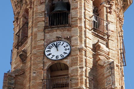
Click image to visit gallery of 12 images.
This city stroll uses the Tourist Office recommended walk to visit many of the sights that Antequera has to offer. Located in the province of Málaga (Andalucia) Antequera is known as "the heart of Andalusia" (el corazón de Andalucía) as it occupies a central location between Málaga, Granada, Côrdoba, and Seville.
The finest first impression of the city is gained when approaching from Malaga in the south. The main road into the city provides a splendid panorama with the city centre, castle and the limestone crag of Lover's Leap all in view. Probably the most striking feature is the number of church towers on the skyline.
The Tourism Information Office is located in the centre of the city at Plaza San Sebastian opposite the splendid tower of this church. The walking map/guide offers an excellent route through the city and covers all the main sights. However this basic tour can be improved by adding some of the sights that are just to the north of the city centre including the wonderful bull ring.
It is suggested that you start from the Bull Ring near the Estepa Gate at the start of Alameda Andalucia. Continue south on this street. The road forks and narrows. Take the right hand road, Infante Don Fernando, and follow this towards the city centre. This will lead you to the Tourism Information Office where you can collect the map.
Assuming you now have the map, follow the recommended route. I continued up C/. Cuesta de la Paz and then followed the route in an anti-clockwise direction. This took in many of the finest sights including the Castle, the Arch of the Giants, Plaza Santa Maria, Church Real Colegiata de Santa María la Mayor and ended at the Municipal Museum in the old square.
I then extended this by continuing back to the Bull Ring by going north from the square on C/. Tintes, half right into C/. Maderuelos, left into C/. Diego Ponce, continuing along C/. Canterros back to the start. I also made a short diversion down C/. Laguna. This completes a fairly comprehensive city tour where the emphasis is inevitably on the historic churches and other buildings of a religious nature. However I must add that this is a fine city and does not suffer too badly from tourism and retains an air of authenticity. It is perhaps a benefit to start early and finish by lunchtime as you are then able to enjoy the city with relatively few other tourists.
Suggested Maps
 - Antequera - Ciudad de Arte - street plan of the city showing all the sights and suggested walking route available from the Tourist Office
Stay Safe
Do enjoy yourself when out walking and choose a route that is within your capabilities especially with regard to navigation.
Do turn back if the weather deteriorates especially in winter or when visibility is poor.
Do wear the right clothing for the anticipated weather conditions. If the weather is likely to change for the worse make sure you have enough extra clothing in your pack.
Do tell someone where you are planning to walk especially in areas that see few other walkers.
Do take maps and other navigational aids. Do not rely on mobile devices in areas where reception is poor. Take spare batteries especially in cold weather.
Do check the weather forecast before leaving. The Met Office has a number of forecasts for walkers that identify specific weather risks.
Please Note - These walks have been published for use by site visitors on the understanding that Walking Britain is not held responsible for the safety or well being of those following the routes as described. It is worth reiterating the point that you should embark on a walk with the correct maps preferably at 1:25000 scale. This will enable any difficulties with route finding to be assessed and corrective action taken if necessary.