Wank - Esterberg - Garmisch-Partenkirchen circuit
Walk 6091
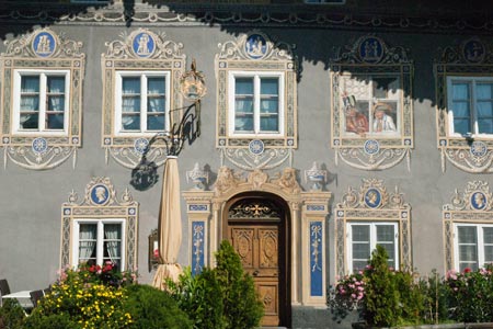
Country - Germany
Region - Bavarian Alps - Garmisch-Partenkirchen
Author - Lou Johnson
Descent - 1200 metres / 3960 feet
Time - 5.00 hours
Grade - moderate
Click image to visit gallery of 9 images.
This walk offers a pleasant extended half day walk from the eastern suburbs of Garmisch-Partenkirchen that starts and ends at the bottom station of the Wankbahn. There is ample parking here for those arriving by road and a regular bus service from the centre of Garmisch-Partenkirchen for those who do not have their own transport.
Take the Wankbahn gondola to the top station. From here you will have superb views over Garmisch-Partenkirchen to Germany's highest mountain the Zugspitze (2962m.). Wank is an elevated grassy ridge extending for about a kilometre with the highest point at 1780m. There are a number of places available for refreshments and meals. On a fine sunny day expect the summit ridge to be quite busy with people enjoying the view, walking and paragliding.
The start of the walk needs careful navigation and a decent map is useful. From the top station of the Wankbahn take the clear path along the north-eastern side of the ridge, to locate a narrower signed path descending to Esterberg. The path is in good condition as you descend some 600m down into the valley below. The path narrow in places is not difficult with a series of zigzags assisting your descent. Eventually quite close to the valley floor, you reach a junction of paths. If you want to return directly towards Garmisch-Partenkirchen then go left. However a better option is to go right and descend onto a wide gravel track. Turn right again and you will soon arrive at Esterberg where meals and refreshments are available in season. Close by this farm is a small chapel.
The onward route takes you back down the gravel track by which you arrived. This leads you down to the valley station of the Wankbahn where you started. The track is steep in places but offers no other difficulties. The views are initially restricted but improve as the path turn south-west high above the town of Garmisch-Partenkirchen. From Esterberg to the bottom of the Wankbahn involves another 600 metres of descent. In the final stages of the descent you pass under the gondolas before turning sharp right for the final descent back the car park.
Suggested Maps
 - Garmisch-Partenkirchen - 1:25000 scale - sheet WK D 4 published by Freytag & Berndt
Stay Safe
Do enjoy yourself when out walking and choose a route that is within your capabilities especially with regard to navigation.
Do turn back if the weather deteriorates especially in winter or when visibility is poor.
Do wear the right clothing for the anticipated weather conditions. If the weather is likely to change for the worse make sure you have enough extra clothing in your pack.
Do tell someone where you are planning to walk especially in areas that see few other walkers.
Do take maps and other navigational aids. Do not rely on mobile devices in areas where reception is poor. Take spare batteries especially in cold weather.
Do check the weather forecast before leaving. The Met Office has a number of forecasts for walkers that identify specific weather risks.
Please Note - These walks have been published for use by site visitors on the understanding that Walking Britain is not held responsible for the safety or well being of those following the routes as described. It is worth reiterating the point that you should embark on a walk with the correct maps preferably at 1:25000 scale. This will enable any difficulties with route finding to be assessed and corrective action taken if necessary.